Move FM Global News
US-India space mission targets precise monitoring of land and ice
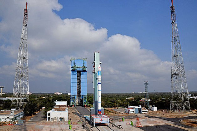
Aug 3, 2025CAPE CANAVERAL, Florida: In a powerful display of international collaboration, NASA and the Indian Space Research Organization (ISRO) successfully launched a groundbreaking Earth-observation satellite this week, designed to monitor even the most minute shifts in the planet’s land and ice surfaces.
The US$1.3 billion mission, named NISAR — short for NASA-ISRO Synthetic Aperture Radar — represents the most ambitious space partnership between the two nations to date.
Blasting off from India’s Satish Dhawan Space Centre on a barrier island in the Bay of Bengal, the satellite was propelled into a near-polar orbit approximately 464 miles (747 kilometers) above Earth. From this vantage point, NISAR will conduct comprehensive surveys of the planet’s terrain every 12 days, using cutting-edge radar technology that functions around the clock, unaffected by clouds, darkness, or dense vegetation.
The spacecraft carries dual radar systems — one supplied by NASA, operating in the L-band frequency, and the other from ISRO, operating in the S-band. Together, they will beam microwave signals toward the Earth’s surface and analyze the reflections captured by a massive gold-plated wire mesh antenna, unfurled on a 30-foot (9-meter) boom. This antenna, with a diameter of 39 feet (12 meters), will require a whole week to deploy in space. By comparing incoming and outgoing signals, the system can detect ground movements as subtle as one centimeter.
“This is a first-of-its-kind, jewel radar satellite that will change the way we study our home planet,” said NASA’s science mission chief, Nicky Fox, ahead of the launch. “It will help us better anticipate natural disasters before they strike.”
Among NISAR’s top scientific objectives are monitoring melting glaciers and polar ice sheets, tracking groundwater depletion, detecting tectonic shifts that could precede earthquakes or landslides, and observing forest and wetland degradation that contributes to greenhouse gas emissions.
The data gathered by NISAR will support not only long-term climate and environmental research but also near-term disaster response. Forecasters, emergency responders, and policymakers around the world will gain critical tools to understand and manage the risks posed by floods, volcanic eruptions, and other natural hazards.
“Congratulations, India!” declared India’s Minister of Science and Technology, Jitendra Singh, in a post on X (formerly Twitter). “This mission will benefit the entire global community.”
The collaboration underscores the growing strength of the U.S.-India space relationship. NASA contributed $1.2 billion to the mission, covering the L-band radar and the sophisticated antenna system. ISRO’s $91 million share included the S-band radar, satellite assembly, and the launch itself.
Casey Swails, NASA’s deputy associate administrator, traveled to India for the launch and praised the mission as a “pathfinder” for future partnerships. “This launch shows the world what our two nations can achieve together — and it’s just the beginning.”
Once the satellite completes its complex deployment phase, full scientific operations are expected to begin by late October. NISAR will join an expanding constellation of Earth-observing satellites operated by the U.S. and India, solidifying its role as a critical asset in the fight against climate change and environmental degradation.


